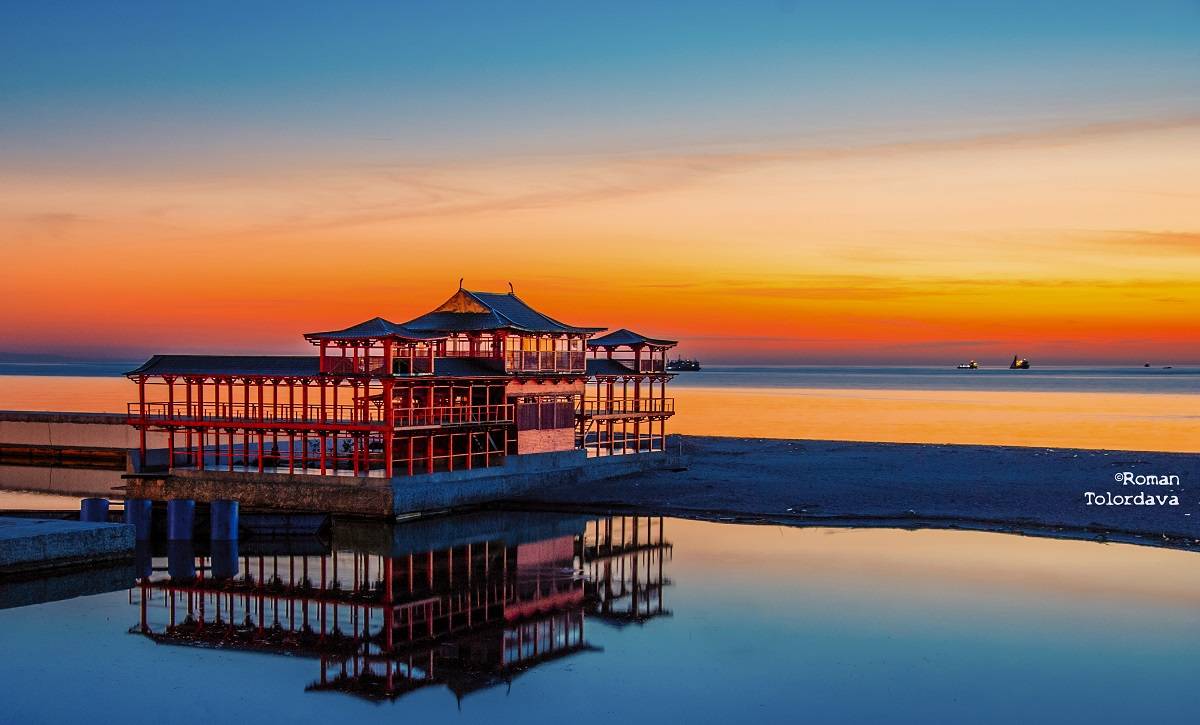
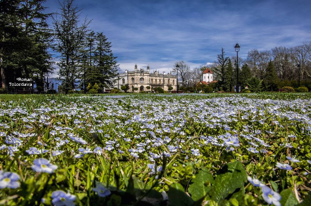
Zugdidi Municipality
Administrative center: Zugdidi city
Area - 668 sq. Km.
Number of administrative units - 48.
Distance between Zugdidi and Tbilisi - 339 km.
Climate - belongs to the subtropical humid climate zone, characterized by warm winters and hot humid summers.
City population - 64 571
Population of villages - 96 780
National composition of the population:
1. Georgian - 98.2%;
2. Russian - 0.9%;
3. Ukrainian - 0.1%;
4. Abkhazian - 0.1%.
5. Other balance - 0.6%
Main water arteries:
1. Riv. Enguri - length - 221 km.
2. Riv. Jumi - length - 61 km.
Mineral and recreational resources of the municipality:
1. Thermal waters in the village Tsaishi
2. Peat deposits in the village Anaklia
3. Sand quarry On the Riv. Enguri
4. Gravel quarry On the Riv. Enguri
Length of highways:
Length of the international road - 25 m.
Length of roads of domestic importance - 120 km.
Road of local importance - 276 km.


Partners